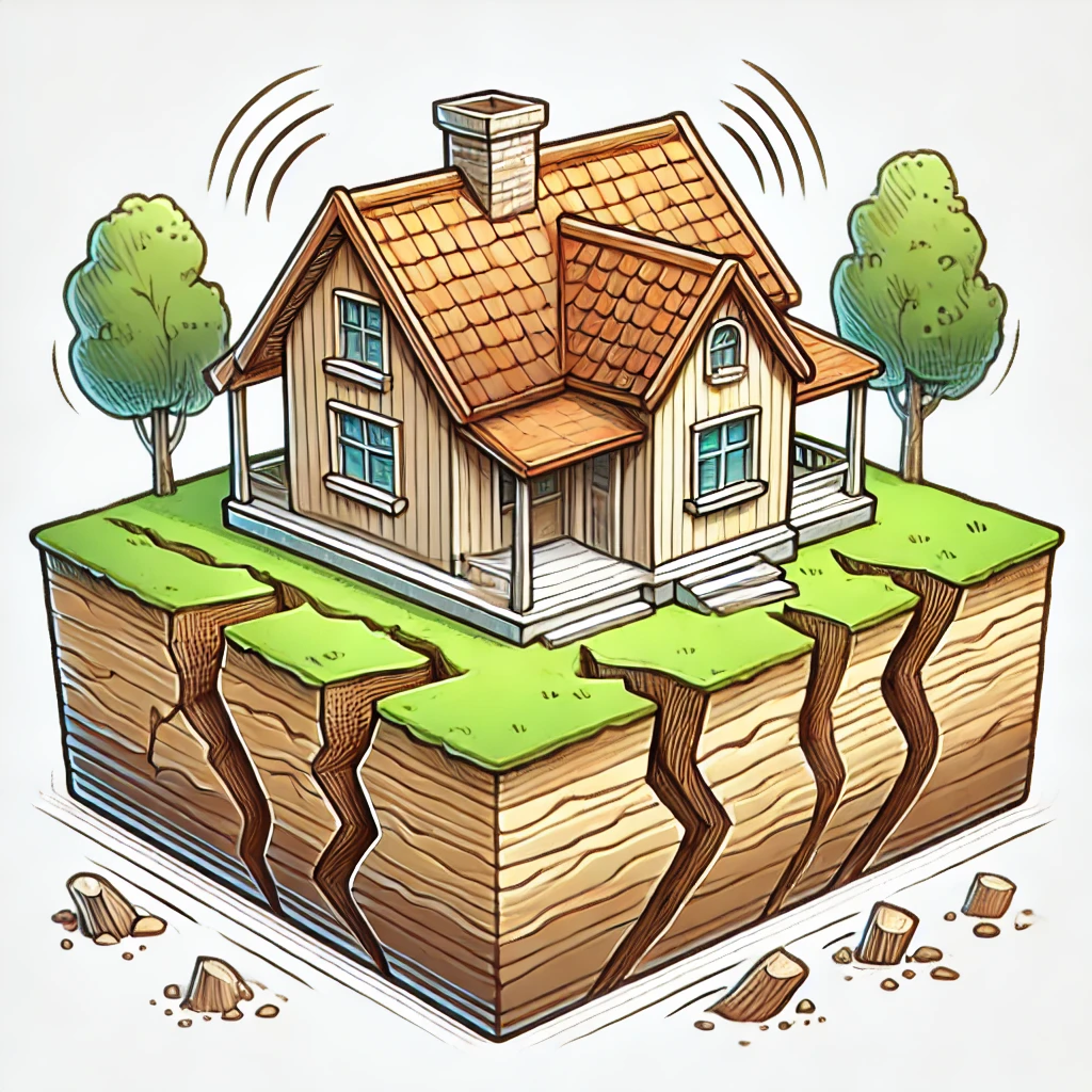
On Geoda, these hazards are grouped because they answer one practical homeowner question: is the ground under and around my house stable, and what can move toward it from nearby slopes?
Each hazard still has its own official dataset, mapping method, and physical mechanism. On the Risk topic card, Geoda therefore shows them as separate indicators within one group.
Use the pages below to understand how Geoda reads each dataset and how to interpret each hazard indicator.