Geoda.ch
Your Address Has Its Own Risk Profile
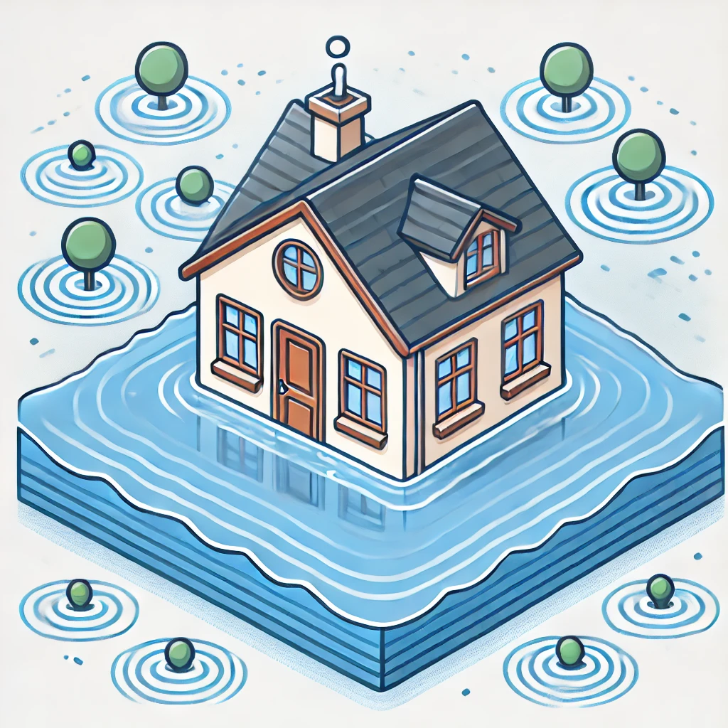
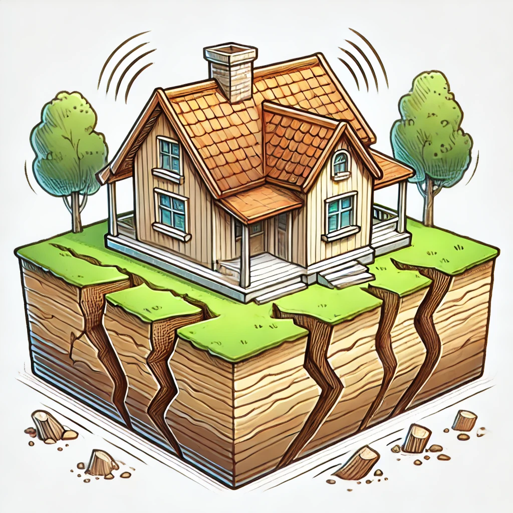
Natural risks are playing an increasingly important role in Swiss property investments. Switzerland’s mountains, streams, and valleys mean that what may appear beautiful can also carry hidden risks, depending on location and perspective. Climate change adds an extra layer of uncertainty by increasing the frequency and intensity of extreme weather, such as heavy rainfall, which raises the risk of flooding, landslides, avalanches, and other natural hazards. As these risks become more prominent, they are likely to influence property values, insurance conditions, and long term costs, making access to open and reliable data essential for informed property decisions.
Geoda makes it easy to evaluate natural risks for any Swiss address by bringing trusted, openly available data from federal authorities into one place. Instead of navigating multiple maps and technical datasets, users can access clear, address-specific information on hazards such as flooding, heavy rainfall, and other natural risks.
By combining transparent sources with intuitive summaries and interactive maps, Geoda helps you see how risks vary and supports more informed decisions when living in, buying, or investing in Swiss property. At the same time, Geoda provides risk estimates based on available data and models, which is not the same as actual outcomes. Please read our disclaimer for important limitations and interpretation guidance. Read the disclaimer
Similar approaches to combining and refining open data for natural hazard information can also be found on Zurich’s natural hazards site and the Schutz vor Naturgefahren platform. [1][2]