Geoda.ch

Earthquake

Geoda shows three practical types of earthquake information on address pages: the official seismic zone, mapped ground conditions where available, and recent nearby earthquakes. These are public geographic data layers around the address. They help explain the earthquake situation in the area, but they are not a structural assessment of the building.

Switzerland is an earthquake country, but earthquake context is not the same everywhere. Some parts of the country are classified into higher official seismic zones than others, and local ground conditions can influence how strongly shaking is felt.

Geoda translates these public datasets into a clearer address-level view. On address pages, you see one long-term mapped signal for the area, one local ground-conditions layer where it is available, and one short-term view of recent nearby earthquake activity. [1] These layers come from official Swiss public geodata and seismic records. [2] They should be read as location-based context, not as a diagnosis of the building. [3]

Illustration of earthquake activity in Switzerland

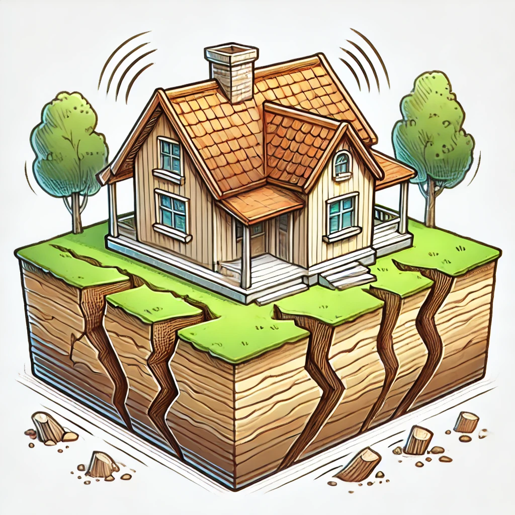
Illustration of earthquake activity in Switzerland. Geoda’s earthquake page focuses on official Swiss seismic zones, mapped ground conditions, and recent nearby earthquake records. [1].

Why earthquake data matters

Earthquake information can be useful when comparing properties, understanding local conditions, or deciding which questions to ask during due diligence. It helps put an address into a wider Swiss seismic context without pretending to know how one building will perform.

For most users, the value is not in one dramatic number. It is in understanding the broader area, the possible influence of ground conditions, and whether recent nearby events are simply short-term activity or something that deserves a closer look in the official sources.

  • Earthquake conditions differ across Switzerland. The official seismic zone for one address may not be the same as for another region, so a national average is less useful than a location-based view.
  • Ground conditions can matter locally. Local ground conditions can affect how shaking is felt, so the wider region is not always the whole story.
  • Recent activity should not be overinterpreted. Recent nearby earthquakes can be useful short-term context, but they do not replace the longer-term seismic zone and ground-conditions information.

What Geoda shows on address pages

Seismic zone

This is the official Swiss seismic zone for the area around the address. It helps describe the general earthquake-design level used in Swiss planning.[1].

It does not tell you whether one specific building is structurally safe. A mapped zone is area-level planning information, not a building inspection or engineering report.

Ground conditions

This shows mapped public ground conditions or subsoil category data where coverage exists. Local ground conditions can influence how strongly shaking is felt.[2].

This is not the same as a site-specific geotechnical or soil investigation. Coverage limits and standard-version differences can also apply, so the mapped category should be read as public context rather than a final ground diagnosis.

Recent nearby earthquakes

This view summarizes recent earthquake activity near the address, based on official Swiss seismic records from the last 90 days.[3].

It is short-term information only. A quiet or active 90-day period does not replace the longer-term seismic zone or mapped ground-conditions information.

How Geoda uses the data

Geoda matches address coordinates to official Swiss public geodata layers. For earthquake information, this means matching the address to the official seismic-zone map and to the mapped ground-conditions layer where it is available.

Geoda then adds recent nearby earthquake activity from official Swiss seismic records. These recent records have a different meaning from the zone and ground layers: they describe short-term activity, while the seismic zone and mapped ground conditions describe longer-term geographic context.

These datasets also have different update schedules and different methodological purposes. Geoda shows them together because they help users understand an address more clearly, not because they can be reduced to one building-level diagnosis.

Limits and caveats

  • Earthquake data on Geoda is not a structural assessment of the building.
  • It is not a prediction that an earthquake will occur at the exact property.
  • It is not a substitute for engineering, structural, or geotechnical advice.
  • Mapped ground-condition data is not the same as an on-site soil investigation.